
Eastern Adams County's Only Independent Voice Since 1887
Eastern Adams County's Only Independent Voice Since 1887
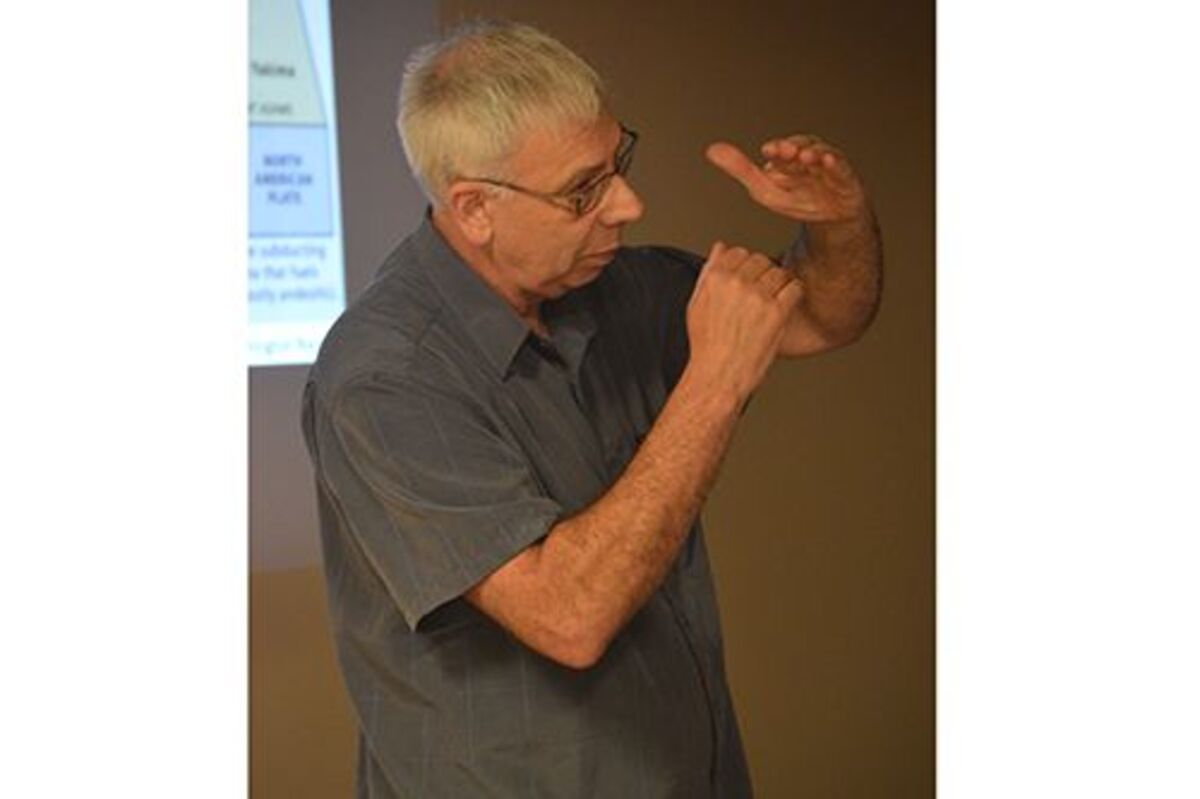
LLOYD STOESS, President of the Ice Age Floods Institute’s Palouse Falls Chapter, discusses the Missoula Floods at the Ritzville Public Library on Sept. 11. -Journal photo by Al Stover
Attendees who came to the Ritzville Public Library on Sept 11 indulged on a slice of through geological history as Lloyd Stoess, presented “Changing the Course of the Columbia River,” which is part of the Ice Age Floods Institute’s traveling lecture series.
Stoess, president of the Ice Age Floods Institute’s Palouse Falls Chapter, presented a slideshow on how the Missoula Floods and other geological events changed the course of the Columbia River.
One of these events was the Columbia River Basalt Group, which occurred 16 million years ago after molten rock from numerous lava eruptions covered most of Washington state, as well as parts of Oregon and Idaho. Throughout the years, basalt flows pushed the Columbia River flow to the outer margins of the land covered by the Columbia River Basalt Group.
Another event Stoess said affected the Columbia River was the advancement of the Okanogan Lobe. During the recent Ice Age, the Okanogan Lobe, a large outlet glacier, moved down the Okanogan River Valley, covering 500 miles of the Waterville Plateau and blocking the Columbia’s ancient route.
This backed up the water to create Glacial Lake Columbia and Lake Spokane.
As the glacier moved south, it caused the Columbia to discharge through Moses Coulee, which runs south to the east. As the Okanogan Lobe grew, it blocked the Moses Coulee, causing the Columbia River to find the lowest route, which would become the Grand Coulee.
The Columbia River entered the Quincy Basin and joined Crab Creek, following its course south through the Frenchman Hills before turning west to run along the north face of the Saddle Mountains. The river rejoined the its previous course above the Sentinel Gap in the Saddle Mountains.
As for the Columbia River’s future, Stoess said he was not sure what will happen to the river in the years to come, only that “nature will see to it.”
“It’s changed over the last 7 million years and we’re still around another 7 million years from now, we’ll see it change some more,” Stoess added.
During his presentation, Stoess also discussed the various water and land features along the Columbia River’s path, created or impacted by the Missoula Floods.
One of these features are the Drumheller Channels, which are basalt butte-and-basin channeled scablands connecting to the Quincy Basin in the north and the Othello Basin in the south.
Another land feature in Adams County Stoess discussed was the Corfu Slide located on the north slope of the Saddle Mountains.
He also touched upon the Cascadia Earthquake, which he said was supposed to happen in 1940. He explained the earthquake would move through Portland, up the Columbia River and hit Seattle.
“It’s not a question of if it’s going to happen, but when it’s going to happen,” Stoess said. “We don’t know when it’s going to happen, we just know it’s overdue and the more it’s overdue, the more likely it’s going to be bigger.”
Anyone who is interested in viewing these areas for themselves can register for the Palouse Falls Chapter’s Saddle Mountain bus tour on Oct. 7.
The tour begins with a drive through the Drumheller Channels and visits various sites around Saddle Mountain, including the ghost town of Corfu, and follows the Columbia River to Beverly, Washington.
After a barbecue lunch at Ginkgo Forest Winery, the tour will work its way back along the Hanford Reach National Monument area and stop at the top of Saddle Mountain and where people could view the Hanford Ridge and the remnants of the Nike Missile Silo.
The price of the tour is $70 for Ice Age Floods Institute members, $80 for non-members and $40 for students and teachers. Anyone can download registration forms from the Ice Age Floods Institute’s website http://iafi.org/iafi/ and the registration deadline is Sept. 30.
Reader Comments(0)